Mount Wugong, also known as Wugongshan, is situated in the middle‑west of Jiangxi Province, at the junction of Pingxiang, Yichun and Ji’an cities. It belongs to the northern section of the Luoxiao Mountains range. The mountain extends for about 120 kilometers and covers a total area of roughly 260 square kilometers. Its main peak, Baihe Peak (Golden Summit), rises to an altitude of 1,918.3 meters, making it the highest peak in Jiangxi Province.
A Cloudy Meadow Above the Sea of Clouds
The most iconic feature of Mount Wugong is its high‑altitude meadow. Above 1,600 meters, the mountain is covered by a vast area of meadow extending over 100,000 mu (approximately 6,667 hectares), which is the largest of its kind in the world at the same latitude. Often called the “Cloudy Meadow in the Sky”, it is the mountain’s most characteristic and extensive landscape.
The meadow’s appearance changes dramatically with the seasons: bright green in spring, deep green in summer, golden‑yellow in autumn, and pure white after winter snowfall. This ever‑changing beauty offers a different visual experience throughout the year.
Important Landmarks
-
Golden Summit (Jinding) – The highest point of Mount Wugong, where visitors gather to watch the famous sunrise and the sea of clouds below.
-
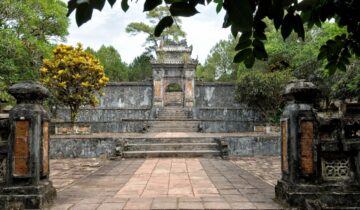
Ancient Sacrificial Altars – A group of four stone altars built from the Western Jin Dynasty to the Ming Dynasty, over 1,700 years old. They are considered a cultural treasure of southern China and are a rare example of ancient sacrificial architecture.
-
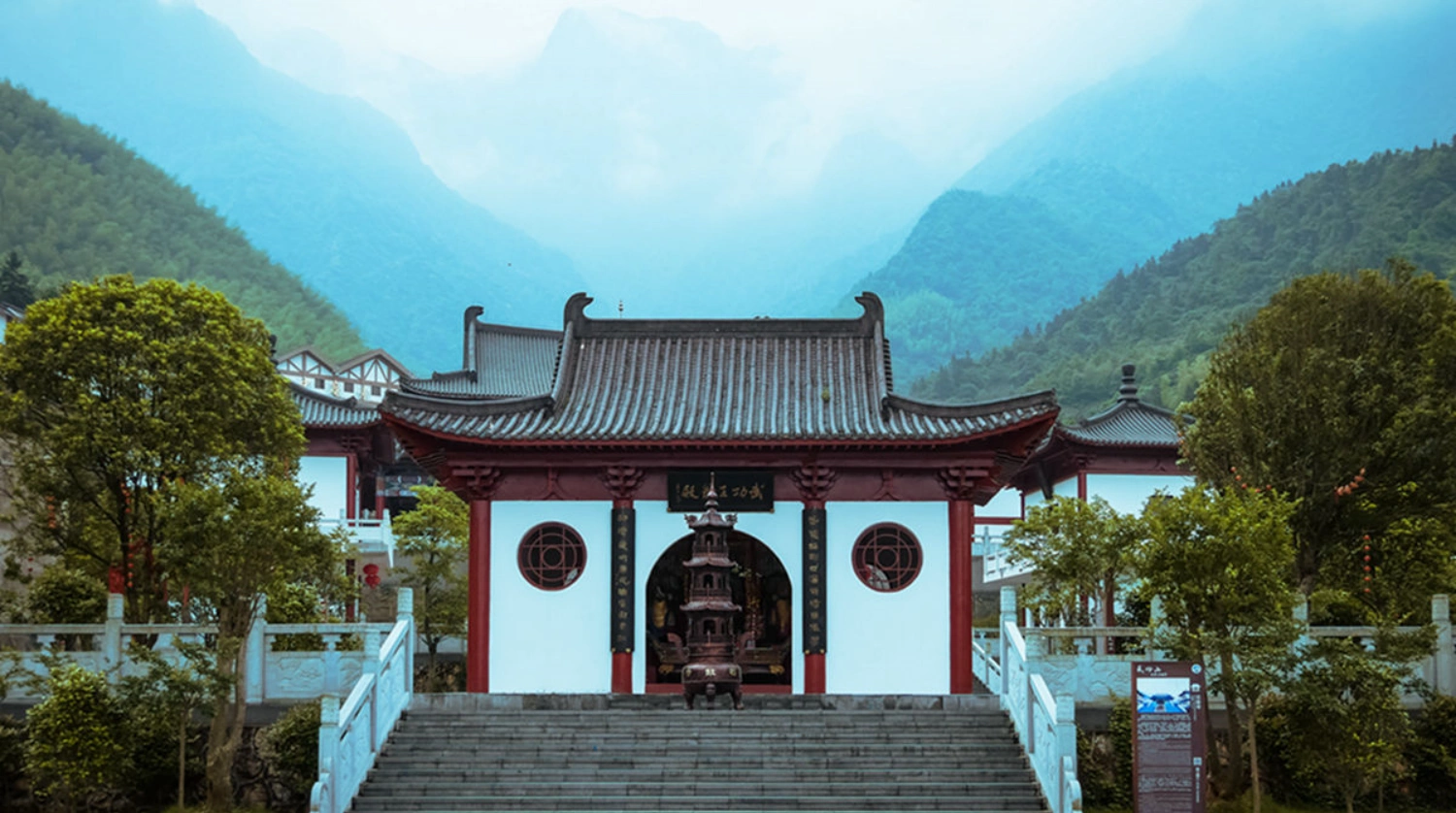
Shigu Temple – A Buddhist temple located at the foot of Golden Summit, originally built in the early 14th century during the Yuan Dynasty.
-
Hanging Glass Skywalk – A glass‑bottomed walkway built into a cliff at about 1,600 meters, offering dramatic views down to the meadow below.
-
Fayun Boundary – A section of the mountain ridge at about 1,628 meters that is considered the core area of the high‑altitude meadow.
The Year‑Round Landscape
Mount Wugong’s landscape changes distinctly with the four seasons:
| Season | Months | Landscape Description | Activities |
|---|---|---|---|
| Spring | Mar–May | Meadow turns bright green; wildflowers in bloom | Hiking, photography |
| Summer | Jun–Aug | Lush deep‑green meadow; refreshing temperatures | Hiking, camping |
| Autumn | Sep–Nov | Meadow turns golden‑yellow | Hiking, camping |
| Winter | Dec–Feb | Snow‑covered white landscape | Snow hiking, ice views |
The mountain’s scenic area is officially classified as a 5A‑rated tourist attraction and a UNESCO Global Geopark.
Mount Wugong: A Hiker’s Paradise
Mount Wugong is widely recognized as one of the premier hiking destinations in southern China. It offers a variety of trekking routes, ranging from half‑day casual walks to strenuous multi‑day crossings. The mountain features over 30 named paths, each providing a unique way to experience the landscape.
Here are some of the most well‑known trails.
⛰️ Longshan Village Counter‑Trekking Route
This route is considered by many hikers as the “ceiling route” for outdoor enthusiasts in southern China. The term “counter‑trekking” refers to starting from Longshan Village in Luxi County, Pingxiang, rather than from the main entrance of the scenic area. The hike proceeds from west to east across the mountain’s core ridge, ending at Golden Summit and exiting through the main scenic area.
| Section | Distance | Key Stops Along the Way |
|---|---|---|
| Day 1 | approx. 10 km | Longshan Village → Yangjiao Jian → Fayun Boundary → Fengche Kou → Qianzhangyan → Haohan Slope |
| Day 2 | approx. 18 km | Haohan Slope → Juewang Slope → Guanyindang → Glass Skywalk → Golden Summit → Tieti Peak → Shenzi Village |
This route is best suited for experienced hikers. Some sections require going up and down steep slopes, demanding good fitness and careful pacing.
🏔️ Shenzi Village → Mingyue Mountain “Grand Slam” Crossing
The “Shenming Route” is a long‑distance crossing of the entire mountain range, often called the “Grand Slam of Mount Wugong”. It starts at Shenzi Village on the north‑east side and ends at Mingyue Mountain in Yichun.
| Section | Distance | Key Stops Along the Way |
|---|---|---|
| Day 1 | approx. 12‑15 km | Shenzi Village → Tieti Peak → Golden Summit |
| Day 2 | approx. 15‑18 km | Golden Summit → Fayun Boundary → Yangshimu |
| Day 3 | approx. 12‑15 km | Yangshimu → Mingyue Mountain |
This is an advanced trek recommended only for fit and experienced hikers.
🌅 Classic Golden Summit Loop
The Golden Summit Loop is the most popular route. It typically starts at the Shigu Temple hiking entrance (with optional cable car for the first stage) and forms a loop connecting Haohan Slope, Guanyindang, Golden Summit, and Juewang Slope back to the main trail.
| Category | Details |
|---|---|
| Total Distance | approx. 15 km |
| Estimated Time | 8‑10 hours |
| Difficulty Level | Moderate to Challenging |
| Key Stops | Haohan Slope → Guanyindang → Golden Summit → Juewang Slope |
This loop offers the classic Mount Wugong experience, combining meadow scenery, ridge walking, and the mountain’s highest peak.
🌿 Fayun Boundary Crossing
The Fayun Boundary – Yangshimu crossing is a less‑traveled section of the mountain. It involves hiking a ridge that connects Fayun Boundary, noted for its meadows and frequent clouds, to Yangshimu, an area with a different geological character.
| Section | Distance | Key Stops Along the Way |
|---|---|---|
| Complete section | approx. 9.5 km | Fayun Boundary → Yangshimu |
This segment is known for its remoteness and lack of facilities, so hikers must be fully self‑sufficient.
Preparation Tips
-
Choosing a Route – First‑time visitors are advised to start with the Golden Summit Loop. Multi‑day routes require good fitness and prior hiking experience.
-
Clothing – Layered clothing is essential, as temperatures can vary greatly between day and night and along different sections of the mountain. A windproof jacket is particularly important at the summit and along exposed ridges.
-
Footwear – Sturdy hiking shoes with good grip are highly recommended for the rocky and sometimes slippery trails.
-
Water and Food – Carry sufficient water and high‑energy snacks. Some sections have no water points or supply stations.
-
Weather Awareness – Weather on the mountain can change quickly. Check the weather forecast before heading out.
-
Leave No Trace – The mountain’s fragile meadow ecosystem is sensitive. All waste should be taken back down.
-
Best Seasons – May to October generally offers the most stable weather and the most beautiful meadow views.
💎 Summary
Mount Wugong’s combination of vast high‑altitude meadows, dramatic seasonal changes, ancient cultural sites, and world‑class ridge‑line hiking routes makes it a truly unique destination in China’s outdoor landscape. Whether you are a first‑time day hiker on the Golden Summit Loop or an experienced trekker tackling the Grand Slam crossing, Mount Wugong offers a special experience that stays with you long after you return home.